Services
Elevate Your Surveying Experience
Services we provide:

Topographical Surveys
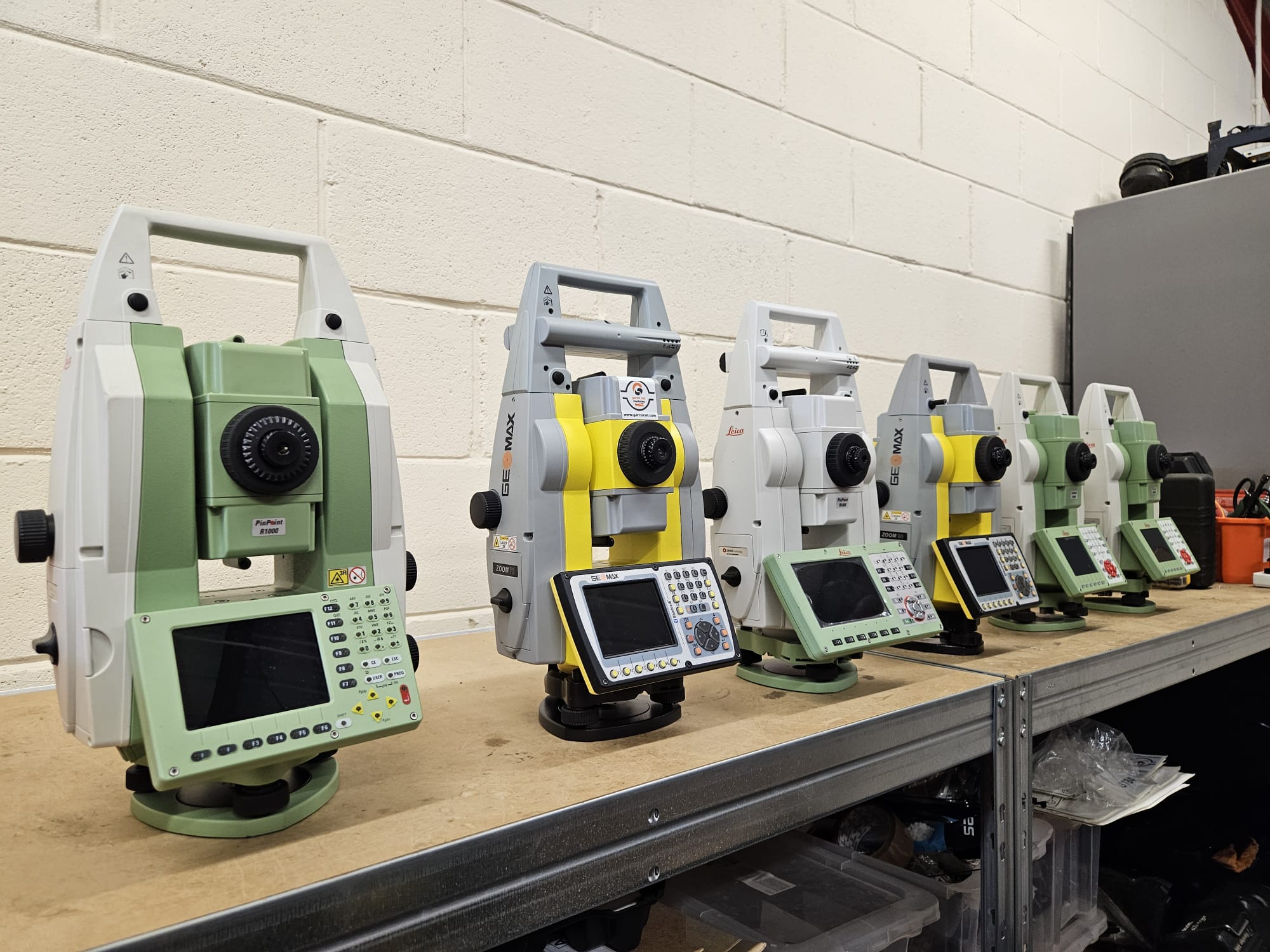
Our topographical surveys provide detailed and accurate mapping of land features, levels, utilities, boundaries, and existing structures. We deliver high-quality survey data suitable for planning, design, and construction purposes.
Using modern surveying equipment and GPS technology, we ensure reliable results for projects of all sizes.
- Planning applications
- Construction design
- Infrastructure projects
- Land development
- Utility mapping
- Drawing Services

GPS Surveying
Garco Survey uses advanced GPS and GNSS technology to deliver highly accurate positioning and geospatial data.
GPS surveying enables fast and efficient data collection across large areas while maintaining precision and reliability.
Benefits:
- High positional accuracy
- Rapid data collection
- Efficient large-area surveys
- Reduced project times
- Improved site coordination
- Drawing Services

Site Engineering
Our experienced site engineering team provides professional engineering support throughout all stages of construction.
We help ensure designs are accurately transferred onto site while maintaining quality control and project efficiency.
Services Include:
- Site control establishment
- Engineering surveys
- Construction support
- Dimensional control
- Quality assurance checks

Setting Out
Accurate setting out is essential for successful construction projects. Garco Survey provides precise setting out services for buildings, roads, utilities, structures, and infrastructure works.
Our team ensures all elements are positioned according to design specifications, helping to reduce errors and costly delays.
Setting Out Services:
- Building grids
- Foundation positioning
- Steel frame alignment
- Drainage layouts
- Road and infrastructure setting out

Monitoring & Remote Monitoring
We provide monitoring and remote monitoring solutions for structures, infrastructure, and environmental conditions.
Our systems help identify movement, deformation, or changes in real time, enabling proactive decision-making and improved safety management.
Monitoring Applications:
- Structural movement monitoring
- Settlement monitoring
- Rail and infrastructure monitoring
- Construction deformation analysis
- Remote data collection and reporting
Benefits of Remote Monitoring:
- Real-time alerts and reporting
- Continuous data collection
- Improved safety on site
- Reduced site visits
- Faster response to issues

3D Scanning
Using advanced 3D laser scanning technology, GARCO Survey captures highly detailed spatial data quickly and accurately.
3D scanning allows complex environments and structures to be documented with exceptional precision, supporting design, modelling, and analysis workflows.
Ideal For:
- Industrial facilities
- Heritage buildings
- Construction verification
- BIM workflows
- Complex structures
Get Started
Let’s Build The Future Together